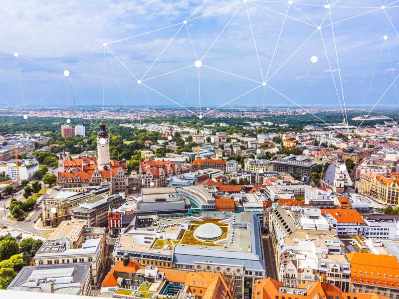
Many of us know about the valuable information Google Maps offers us. However, there are many missing spots and information that is not disclosed, which is where digital maps of Leipzig comes into play: Citizens as well as authorities can use them to investigate the traffic in the city, parking availability but also information about land values or the development of the city infrastructure. In 2015, the city of Leipzig renewed its digital 3D city map which is available on their website. The 3D city model covers the entire city of Leipzig with more than 150,000 captured buildings, their roofs as well as facade and roof texture.
 Building project at Lindenauer Hafen, Copyright: Stadt Leipzig
The newest aerial images have been added last year, also adding new data to the 3D city map, such as further information about the buildings’ function, measurements and more. The connection to the official geodata helps to keep the information updated. The map enables building contractors, architects, authorities and other interested parties to analyse immission propagation, simulations for urban planning and more. Given the standardized interface and exchange formats, the 3D map can be enhanced with further information each entity might need for their calculations and data extraction: For example, the city of Leipzig uses the data for noise mapping – the results can be found in the online map. With the realisation of the 3D city model, the range of applications in the fields of urban planning, business development, environment and science is expanding. Architectural and engineering firms, for example, can request 3D building and terrain data for further processing and a wide range of environmental analyses (e.g. sound and radio wave propagation, shadow casting).

A good best practice example is the building project at Lindenauer Hafen (based on a draft design of 2017), embedded in the existing Leipzig 3D city model. In the run-up to the project, the architectural office was provided with digital 3D building models of the surrounding as well as a model of the terrain. The finished design could be easily visualized and integrated into the existing 3D city model.

/White%20Versions/stadt_leipzig_white.png?width=130&name=stadt_leipzig_white.png)
/White%20Versions/sachsen_signet_white.png?width=90&name=sachsen_signet_white.png)